Search for:
Springbrook National Park - Waterfalls and Forests
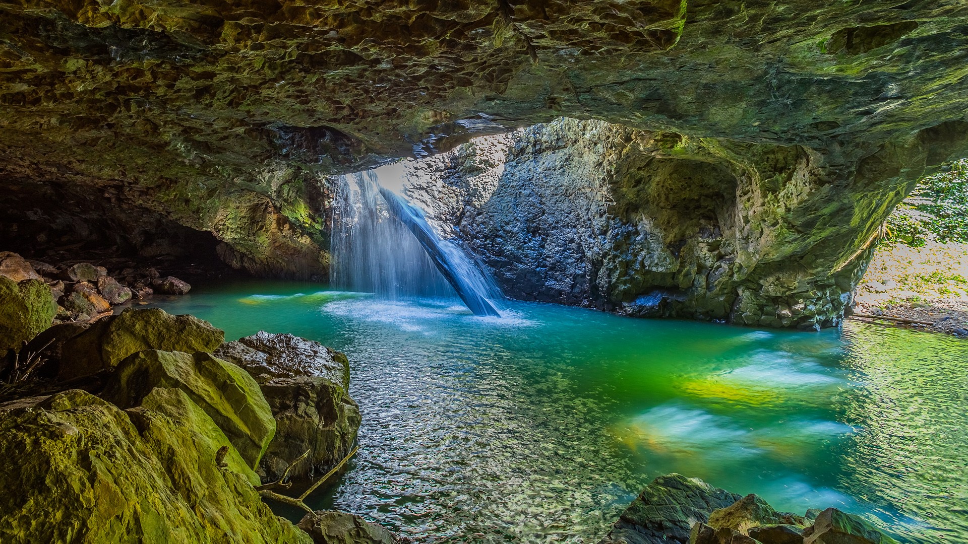
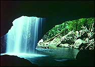
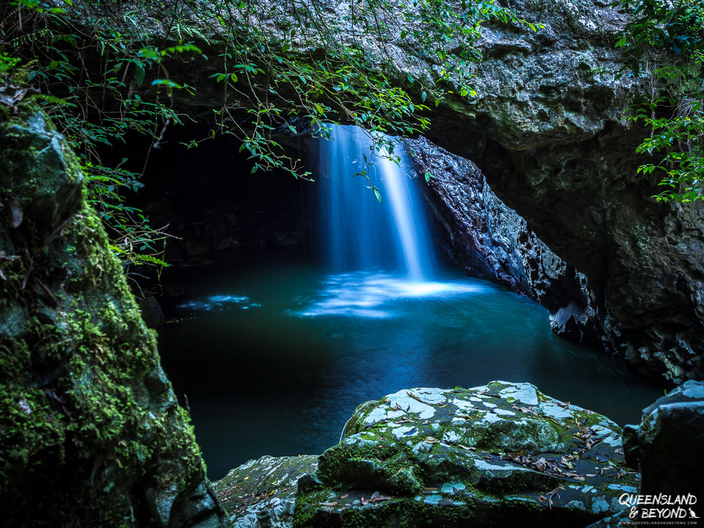
Springbrook National Park – Waterfalls and Forests

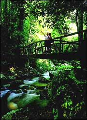
Plunging waterfalls, cool forests, rugged gorges and remnants of early foresting history await you at Springbrook National Park in the Gold Coast hinterland.

Covering land on and around Springbrook Plateau, the 2720ha park protects rainforests, eucalypt forests and the headwaters of rivers flowing to the Gold Coast.

Springbrook lies on the Scenic Rim, a chain of mountains stretching across the Queensland-New South Wales border. Walking tracks ranging from easy to challenging take you to lookouts, waterfalls and ancient forests.

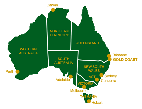
Springbrook is about 90 minutes from Brisbane and 45 minutes from the Gold Coast. The park has three sections: Springbrook Plateau, Mt Cougal to the east and Natural Bridge to the west.

At 900m above sea level, Springbrook can be cool even in summer. Rainfall averages 3000mm a year, mostly from December to March. Drier months from May to October are probably the best time to visit. Holidays and weekends can be crowded.

Related Links:

  • Gold Coast Accommodation – A comprehensive guide to accommodation on Australia’s Gold Coast including hotels, motels, resorts, self-contained apartments and holiday units.
  • Gold Coast Visitor Information – This section of the website provides general visitor and tourist information about the Gold Coast including links to more information.
  • Gold Coast Regional Information – Regional information about the main towns situated on the Gold Coast as well as information on the Gold Coast hinterland.
  • Gold Coast Things To Do – A user-friendly guide to theme parks including Dreamworld and Movieworld as well as tours, activities and other things to do on Queensland’s Gold Coast.
Gold Coast Maps
Gold Coast Maps

This simple map gives you a quick overview of where the Gold Coast is located in relation to the States and Capital cities of Australia.

Australia Map.

A detailed Southport Street Map.

Thanks to Ausway for use of the map.

Please click the small map to see full size (200kb)

detailed Main Beach Street Map.

Thanks to Ausway for use of the map.

Please click the small map to see full size (200kb)

A detailed Surfers Paradise Street Map.

Thanks to Ausway for use of the map.

Please click the small map to see full size (200kb)

A detailed Broadbeach Street Map.

Thanks to Ausway for use of the map.

Please click the small map to see full size (200kb)

A detailed Mermaid Beach Street Map.

Thanks to Ausway for use of the map.

Please click the small map to see full size (200kb)

A detailed Palm Beach Street Map.

Thanks to Ausway for use of the map.

Please click the small map to see full size (200kb)

This simple map gives you a quick overview of beaches on the Gold Coast.

Please click the small map on the right to see the full size
Gold Coast Beach Map (16kb)

Natural Bridge (Arch) - Springbrook National Park
Natural Bridge (Arch) – Springbrook National Park

Natural Bridge is one of the most popular parts of 2954ha Springbrook National Park.

Natural Bridge (also called Natural Arch) nestles in the scenic Numinbah Valley near the Queensland-New South Wales border. See the picturesque rock formation, stroll through the subtropical rainforest and have a bush picnic. Underneath the bridge lives a colony of glowworms, tiny stars in the dark.

Natural Bridge is about an hour’s drive from the Gold Coast or two from Brisbane. In a day you can also visit more of Springbrook National Park and Lamington National Park, or cross the border to New South Wales parks.

Together, these parks are the heart of the Central Eastern Rainforest Reserves (Australia) World Heritage Area. Tamborine National Park is also close.

Sheltered in a subtropical rainforest, Natural Bridge receives 1500mm of rain during the hot, humid summer. Winter days are often clear, crisp and sunny. Can be cool any time.

Related Links:

  • Gold Coast Accommodation – A comprehensive guide to accommodation on Australia’s Gold Coast including hotels, motels, resorts, self-contained apartments and holiday units.
  • Gold Coast Visitor Information – This section of the website provides general visitor and tourist information about the Gold Coast including links to more information.
  • Gold Coast Regional Information – Regional information about the main towns situated on the Gold Coast as well as information on the Gold Coast hinterland.
  • Gold Coast Things To Do – A user-friendly guide to theme parks including Dreamworld and Movieworld as well as tours, activities and other things to do on Queensland’s Gold Coast.
Gold Coast History
Gold Coast History

The Gold Coast has become one of Australia’s most popular holiday playgrounds, a long way from the days when Captain Cook passed the coast in 1770 and named Point Danger and Mount Warning. The Gold Coast region was first put up for sale in 1874 when it was little more than a picturesque collection of lagoons and mangrove swamps with rivers and creeks meandering their way out to the ocean at Southport. By 1884, the Gold Coast was already becoming a popular holiday destination and Cobb & Co. started running regular coach services from Brisbane to the developing Gold Coast region. Further strimulation to the area’s development occurred in 1889 when a rail link between the Gold Coast and Beenleigh was completed. The rail link was removed 65 years later in 1964.

James Cavill was instrumental in the growth of the region when he built the Surfers Paradise Hotel in the early 1920s. He purchased the land in Elston (now known as Surfers Paradise) in 1923 for a princely sum of £40 (about $200). A bridge replaced the old horse ferry crossing the Nerang River in 1925 and in an effort to attract the more mobile and lucrative holiday market, the town of Elston (previously known as Meyers Ferry) was renamed “Surfers Paradise” in 1933 after the hotel Cavill had built 10 years earlier.

Property prices began rising sharply after WWII as there was an involuntary moratorium on the development and would-be developers could see an opportunity to cash in on a Post War boom. The greater region was given its modern moniker in the early 1950s when a journalist discussing the rising property values metaphorically referred to the area as the “Gold Coast”. The ensuing development boom of the 1950s saw a rush to build large beachfront holiday apartments to support the now rapidly growing tourist market. By the 1960s the beachfront had all but been completely developed and the urbanisation of the surrounding farms and wetlands began.

Gold Coast Aboriginal History

The Gold Coast region was known to local Aborigines as “Umbigumbi” and “Kurrungul”. The traditional borders of the Gombemberri people of the Gold Coast extended from the Tweed River in the south along the Coomera River to Numinbah Valley. Some historians estimate that Aborigines have been coming to the Gold Coast for over 10,000 years. They came to the Gold Coast from Bundjalung, south of the Tweed River, and from as far north as Maryborough in the north. They would visit the Gold Coast for festivals and tribal ceremonies, fishing, subtropical fruits and bush tucker and to harvest a special hardwood that they used to make boomerangs.

Related Links:

  • Gold Coast Visitor Information – This section of the website provides general visitor and tourist information about the Gold Coast including links to more information.